Think Canada’s growth is balanced? Look closer. Discover how provincial urban primacy creates massive geographic gaps, and how to spot them using data.
[…]
The Primacy Truth: How Big Cities Rule Canada
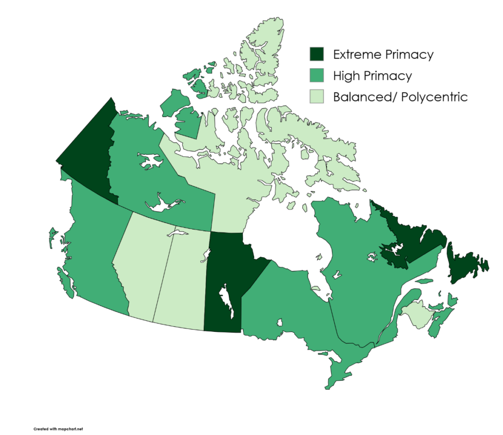
Think Canada’s growth is balanced? Look closer. Discover how provincial urban primacy creates massive geographic gaps, and how to spot them using data.
[…]

Discover how transit transformed Vaughan Metropolitan Centre from industrial land into a growing urban hub using demographic insights from Polaris Intelligence. […]

Discover how Canada’s workforce has changed since COVID and why businesses need current employment data to stay competitive. […]
 Powered by