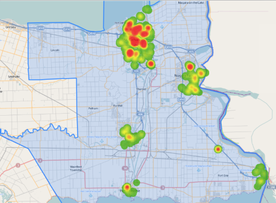
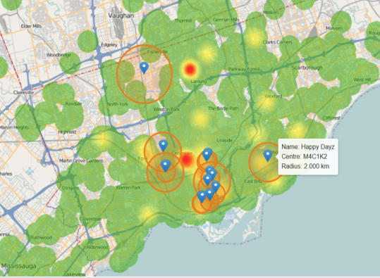
The Mapping Centre, Trade Areas, POIs, sharing custom reports, and Data Mining saw a number of improvements this release. In the Mapping Centre, you can now save a picture of your map as a PNG through our new download map feature! When creating trade areas, you can now use latitude and longitude instead of postal code to define the centre or other points! All of your customized reports can now be shared with Polaris users in your group with the click of a button! […]
Release Notes May 4, 2020






 Powered by